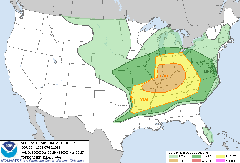
The SPC has issued a slight risk for severe storms in much of Ohio today. This is largely due to upper level dynamics, rather than instability like we see during the spring and summer months. A low pressure system will move across Michigan this afternoon, with a cold front extending through IL/IN. Storms will initiate just ahead of the cold front, which will move east at a fast pace. The main threat will be damaging winds, but tornadoes are definitely a possibility due to strong dynamics aloft. The SPC has recently upgraded to a high end slight risk- and depending on how the afternoon evolves, an upgrade to a moderate risk of storms is possible in later updates, probably in a triangle from Indy to Lima to Columbus.
The most impressive thing about today is the upper level winds. Winds at 500mb are approximately 60-90kts, which will lead to an incredible amount of shear. What's also extremely impressive thing about this event is the 190kt jet streak over northern Michigan. That is not very typical for a mid-November storm, so today could be a very unusual day. Storm motion will likely be WNW at around 60mph, so be alert for ever changing conditions in your area. Today has the potential to be somewhat similar to November 2002, which had a strong tornadoes across the Great Lakes area. While the size of that outbreak was much larger, the potential for a few strong tornadoes is present today.
Stay tuned to the SPC, NWS, and The Ohio/Ontario weather blog for more updates during the day
Showing posts with label thunderstorms. Show all posts
Showing posts with label thunderstorms. Show all posts
Monday, November 14, 2011
Tuesday, August 23, 2011
Severe Thunderstorms Possible Wednesday
The SPC in Norman has placed much of Ohio and southern Ontario (if extrapolated) in a Slight Risk of Severe storms. However, some rather significant severe weather is possible, depending on what happens during the morning hours tomorrow. The SPC expects thunderstorms to be in the area in the morning, which will weaken and eventually die off. This will allow for moderate destabilization with MLCAPE reaching about 3000J/kg by mid afternoon. This combined with shear around 35-40kts will allow for good storm organization to occur.
Storms are expected to be supercells as the develop during the mid afternoon, and eventually form into bowing segments. Some isolated tornadoes are possible, and you can see that clearly as the GFS is depicting large, curved hodographs:
I will be able to update at least once tomorrow to give a brief summary of what's going on, but I won't be able to do much other than that. Stay tuned to the Storm Prediction Center and the National Weather Service for more information and watches/warnings throughout the day tomorrow!
Labels:
damaging winds,
instability,
large hail,
severe weather,
SPC,
thunderstorms,
tornadoes
Saturday, July 23, 2011
Scattered Thunderstorms Likely for the Weekend
Scattered Thunderstorms are likely across all of Ohio, southern Michigan and southern Ontario this weekend as a surface low in the plains slowly moves east. There is a slight chance for severe weather with these storms, which could contain damaging winds, and marginally severe hail. There is also a flash flood watch for northern Ohio after heavy rainfall yesterday.
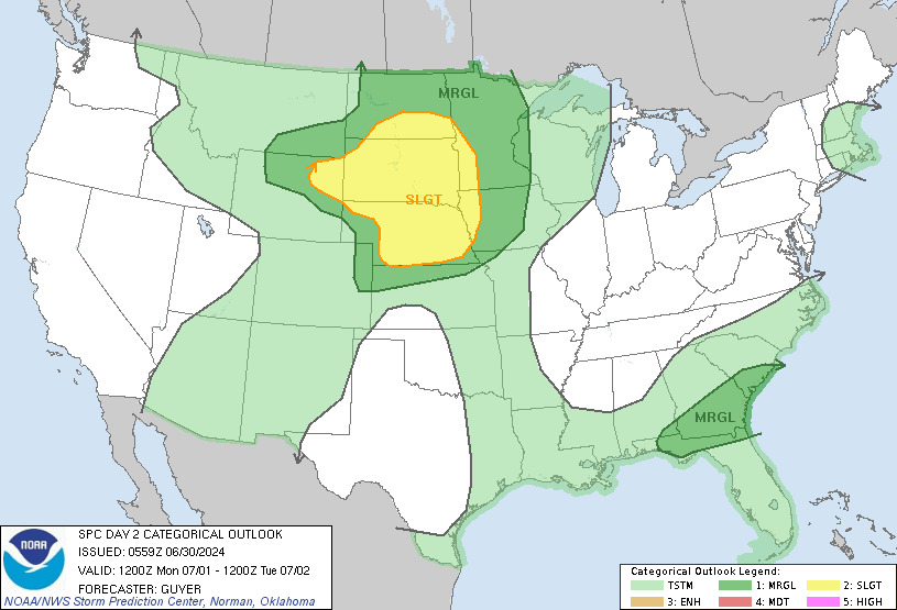
SPC Outlooks:
Today:
Tomorrow:
Many of these storms will be slow moving due to weak upper level winds and low shear, so any storms that do develop may "sit" over a small area for a long period of time. However, a general storm motion of about 20-25mph will be more common.
Hot temperatures will also reside over the entire area once again, with temperatures reaching the low to mid 90s. Monday and Tuesday will be slightly cooler after this system moves out, but temps will rebound into the mid 90s again next week. Check the NWS for any heat warnings/advisories for your area.
Finally, I'm leaving for Colorado later today, and I'm not sure if or when I'll be able to check in again for the next week. I'll try to at least get on the chat a few times, but I cannot guarantee anything.
Labels:
heavy rain,
severe weather,
SPC,
thunderstorms,
weather,
weekend
Saturday, July 16, 2011
Excessive Heat Likely Next Week
Although it has been almost a month since my last post, I've still been following the weather closely. I did not post about the moderate risk day in Ohio, mainly due to the fact that I had no access to a computer during that stretch. Although I've been slowly working on my Fall/Winter outlooks, I felt that this upcoming situation is going to be more important. We are looking at a stretch of of widespread 90-100*F days, lasting until near the end of the month. This is largely due to this:
This heat won't just be short lived. The Climate Prediction Center (CPC) has a 80% chance or greater of above average temperatures, for both the 6-10 Day, and 8-14 day outlooks:
There does not appear to be any relief from the heat in the next 2-3 weeks, and July will likely be one of the warmest on records for Toledo, Columbus, and Cleveland.
Stay tuned for any updates regarding this and any other significant weather.
This 594dm ridge over the central U.S. will pump in very hot, moist air, with dew points reaching the low to mid 70s. This combination of heat and humidity will cause heat indices of 105 and greater for several days. There will also be strong instability in place, which could create slow moving thunderstorms, which could be severe. The SPC has already placed Ohio in a slight risk of severe storms for Monday. The main threats would be large hail and damaging winds, with a very low tornado risk.
This heat won't just be short lived. The Climate Prediction Center (CPC) has a 80% chance or greater of above average temperatures, for both the 6-10 Day, and 8-14 day outlooks:
Stay tuned for any updates regarding this and any other significant weather.
Labels:
CPC,
extreme heat,
heat,
instability,
July,
MCS,
Ohio,
Ontario,
SPC,
thunderstorms
Tuesday, June 14, 2011
Weather for the Week
After an absolutely gorgeous past 4 days, the weather is expected to get rainier over the next few days. Although temperatures should remain cool, showers and thunderstorms are expected from Wednesday to Friday. Showers and storms should develop and move east-northeast into Northwest Ohio by late afternoon tomorrow. These storms are not expected to be severe. However, some isolated severe weather is possible further south towards Dayton, Columbus, and Cincinnati, but the overall potential looks very limited. Rain should move into Southern Michigan and eventually weaken in Ontario on Thursday, while isolated storms will move through Ohio during the afternoon. Rainfall amounts should range from 1/4" to 3/4" in Ohio, with less in extreme southern Ontario. Less than a tenth of an inch (2-3mm) of rain is currently expected in the Greater Toronto Area.
Temperatures will generally range in the low to mid 70s (21-27C), but rain could keep local areas from warming up as much.
Temperatures will generally range in the low to mid 70s (21-27C), but rain could keep local areas from warming up as much.
Labels:
Ohio,
Ontario,
rain,
thunderstorms,
warm weather,
weather
Saturday, June 4, 2011
Severe Weather Today
The Storm Prediction Center has placed most of Northern and Central Ohio in a slight risk for severe storms today. The main threat will be damaging winds, along with some isolated severe hail reports. The tornado threat today appears very limited right now, but one or two tornadoes can't be ruled out. It appears that one or two MCS (Mesoscale Convective Systems) will be developing later today, moving ESE through the 30% wind risk zone. A very unstable atmosphere characterized by SBCAPE in excess of 3000J/kg, along with DCAPE in excess 1200J/kg, should allow storms to become severe, and produce damaging wind gusts. Steep Lapse rates should at least produce a few scattered hail reports, but an elevated freezing level will keep the number of reports down a bit. Storms are expected to develop by 18-20z (2-4PM), and last into the early nighttime hours.
Stay tuned to the Ohio/Ontario weather blog, along with the SPC and your local NWS weather office for any additional updates. I will be online for most of the afternoon.
Labels:
hail,
instability,
MCS,
severe weather,
SPC,
thunderstorms,
wind damage
Tuesday, May 31, 2011
More Severe Weather Today
At the 12:30 PM update, the SPC put much of Northern Ohio in a slight risk of severe storms for today. At this time, damaging winds gusts appear to be the main threat, with hail be a secondary threat. The tornado risk appears to be quite limited at this time. Storms are expected to develop over Indiana later this afternoon and move east at 40-50mph.
Parameters in Ohio are some of the most impressive I've seen in the last few years, so if storms do manage to develop, they should quickly become severe. 500mb winds are around 50kts, with shear limited as of right now, but that should slowly change during the day. SBCAPE is in excess of 4000J/kg in most of Ohio, along with LI's of -10. Lapse Rates are around 8.5. Although SRH is limited as of now, I have a feeling that we could see more storm reports along the I-80/Route 6 corridor in Northern Ohio than we did on Sunday.
One thing to watch is how well the Hi-res models do today after they did not do well last weekend. Although they can be helpful, monitoring radar trends will ultimately be more important than anything else today. If any watches are issued for the area, I will update the blog. As always, pay close attention to the Ohio/Ontario Weather Blog, the SPC, and your local NWS office for any updates during the day
Labels:
derecho,
hail,
instability,
MCS,
severe weather,
Slight Risk,
SPC,
thunderstorms,
tornadoes,
wind damage
Subscribe to:
Posts (Atom)


