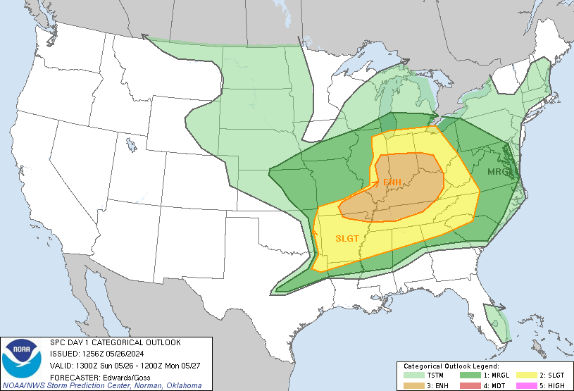
Scattered Thunderstorms are likely across all of Ohio, southern Michigan and southern Ontario this weekend as a surface low in the plains slowly moves east. There is a slight chance for severe weather with these storms, which could contain damaging winds, and marginally severe hail. There is also a flash flood watch for northern Ohio after heavy rainfall yesterday.
SPC Outlooks:
Today:
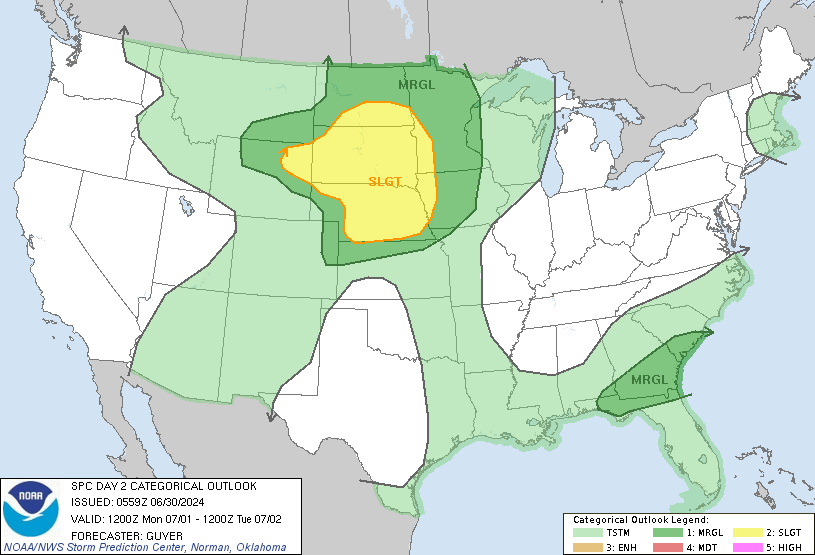
Tomorrow:
Many of these storms will be slow moving due to weak upper level winds and low shear, so any storms that do develop may "sit" over a small area for a long period of time. However, a general storm motion of about 20-25mph will be more common.
Hot temperatures will also reside over the entire area once again, with temperatures reaching the low to mid 90s. Monday and Tuesday will be slightly cooler after this system moves out, but temps will rebound into the mid 90s again next week. Check the NWS for any heat warnings/advisories for your area.
Finally, I'm leaving for Colorado later today, and I'm not sure if or when I'll be able to check in again for the next week. I'll try to at least get on the chat a few times, but I cannot guarantee anything.
No comments:
Post a Comment
Comments are now being filtered due to Blogger receiving an increasing amount of spam. If you have any type of blogger ID, your comment will be posted. I apologize for any inconvenience