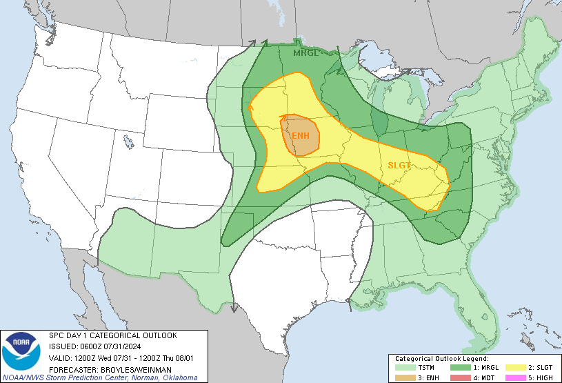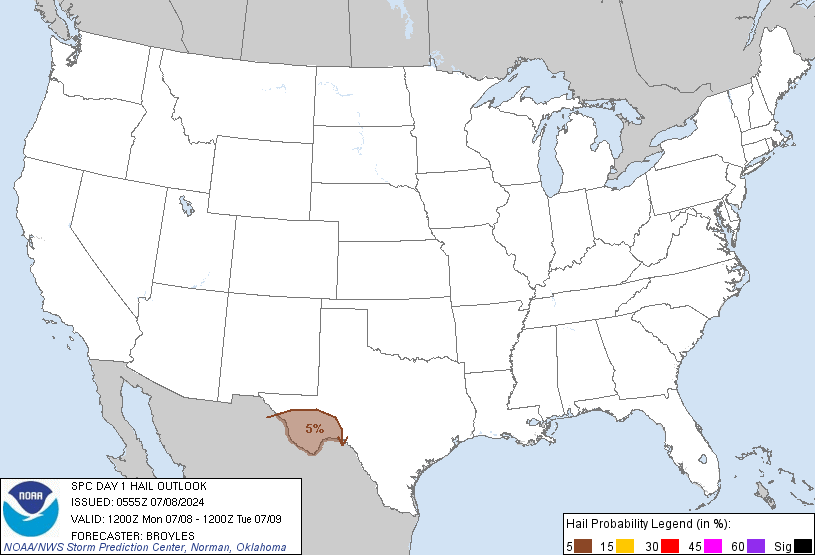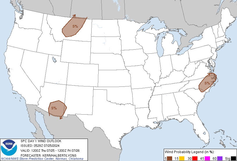


The Storm Prediction Center in Norman, OK has placed the entire state of Ohio in a slight risk of severe weather today. The main threats will be damaging winds and large hail. Although there is limited tornado potential, an isolated tornado cannot be ruled out. Storms are expected to develop later this afternoon in NWOH, and move slowly to the east-southeast. With 40-50kts of Bulk Shear, storms should be very well organized during the day, and slowly fade during the late evening. Both the HRRR and RUC are showing the development of supercells in NWOH by 21z (5pm), which is an ideal time for severe storms. These supercells could produce hail greater than 2" in diameter, but the tornado threat will be limited. Looking at Skew-T's for the region, there is very little turning in the atmosphere, suggesting a more linear (wind) threat. For more updates, check the Storm Prediction Center and your local NWS office.
No comments:
Post a Comment
Comments are now being filtered due to Blogger receiving an increasing amount of spam. If you have any type of blogger ID, your comment will be posted. I apologize for any inconvenience