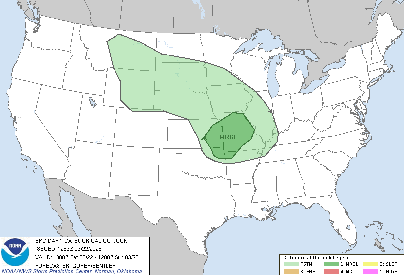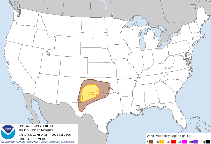

The atmosphere should continue to destabilize through the early afternoon as little to no cloud debris exists. Showers over northern IN have collapsed, leaving the potential for storms to develop over their old Outflow Boundries. With little to no CAP in place (700mb Temperatures below 6C), and small trigger would be able to initiate some strong storms.
CAPE is in excess of 2000 J/kg in some areas at the 14z Mesoanalysis readings, with bulk shear in excess of 30kts. This should support at least some storm organization, which we lacked with previous events the last couple weeks. The amount of clearing shown on visible satellite is very impressive, and is something I don't see all that often here in Ohio.
Pay close attention to the SPC site ( http://www.spc.noaa.gov ), and your local NWS office for watches and warnings.
No comments:
Post a Comment
Comments are now being filtered due to Blogger receiving an increasing amount of spam. If you have any type of blogger ID, your comment will be posted. I apologize for any inconvenience